Manitowoc County Wisconsin
Part of the WIGenWeb and USGenWeb® Projects
MAPS & LAND RECORDS
County & local maps, land records, & information on how to read plat maps.


|
|
||||
| HOMEPAGE | GENERAL RESOURCES | LOOK-UPS & MORE | RESEARCH TOOLS | CONTACT US |
| BIOGRAPHIES | CEMETERIES | CENSUS | LOCAL HISTORY | MAPS & LAND |
| MILITARY | MISCELLANEOUS | OBITUARIES | PHOTOS | VITAL RECORDS |
Click on images for a larger view of them, if any.
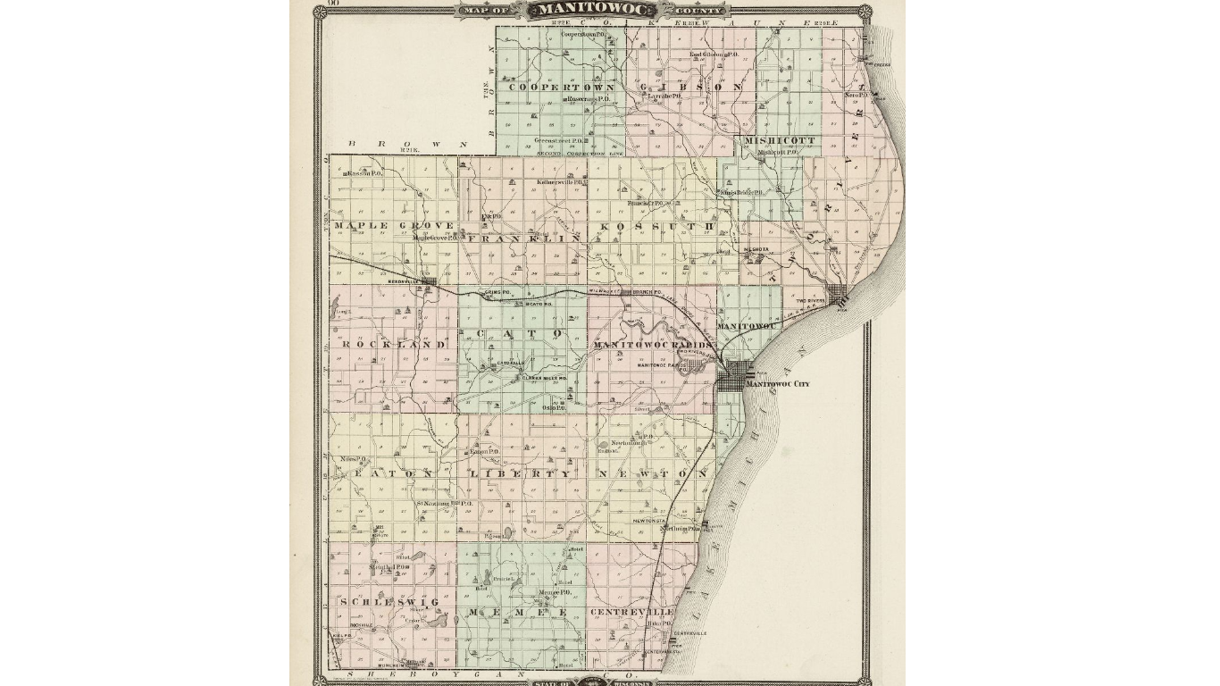
County Map, source 1878 Atlas
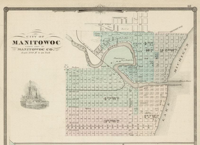
City of Manitowoc Map, source 1878 Atlas
1878 Plat Map of Meeme Township (PDF) [Top Half] [Bottom Half]
Land & Deed Terminology - The Rectangular Survey System
OFF-SITE RESOURCES
Bureau of Land Management (BLM), General Land Office (GLO) - Seachable Database that includes images of actual signed documents.