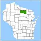
ONEIDA COUNTY
A proud part of the
WIGenWeb Project
ONEIDA COUNTYA proud part of theWIGenWeb Project |
|
 |
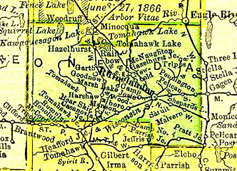
Oneida County MapsOn This SiteTwo Outline Maps Showing the Boundaries of Towns of Oneida County1908 Oneida County Plat Mapsdonated to the Oneida WIGenWeb Project by Kim Potaracke. 1920's Oneida County Plat Maps These plat maps were donated to the Oneida WIGenWeb Project by two generous genealogy friends, Kim Potaracke and Sue Swanson. Links to Maps on other SitesAn 1895 map of the countyPresent day maps may be purchased from the Maps and Publications sales division of the Wisconsin Department of Transportation. An 8.5 x 11 inch map costs 50 ¢ and is perfect for including in your research notebook. The 18 x 24 inch map includes the names of the township roads and costs only $1.20. They also have state maps with county names and boundaries and other maps of interest. Land Patent Map of Wisconsin - a listing of the land patents for Oneida County |