| |
ONEIDA COUNTYA proud part of theWIGenWeb Project |
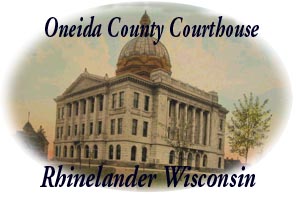
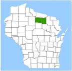 ONEIDA COUNTY |
Towns of Oneida CountyOneida County is divided into 20 'TOWNS'. 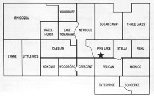
ONEIDA COUNTYThe difference between "township" and "town" often confuses the public. In Wisconsin, "township' refers to the surveyor's township which was laid out to identify land parcels within a county. Theoretically. a township is a square tract of land, measuring six miles on a side for a total of 36 square miles in the unit. Each township is divided into 36 sections. "Town", as the word is used in Wisconsin, denotes a specific unit of government. It's boundaries may coincide with the surveyor's township or it may look quite different. A Town may include one, parts of or several townships For example: the 'Town of Minocqua' includes almost 5 complete townships but the 'Town of Hazelhurst' only one township. To learn more about land discriptions visit Public Land Survey System (PLSS) Tutorial or Map Clicking on these links will open a new window, close to return here. 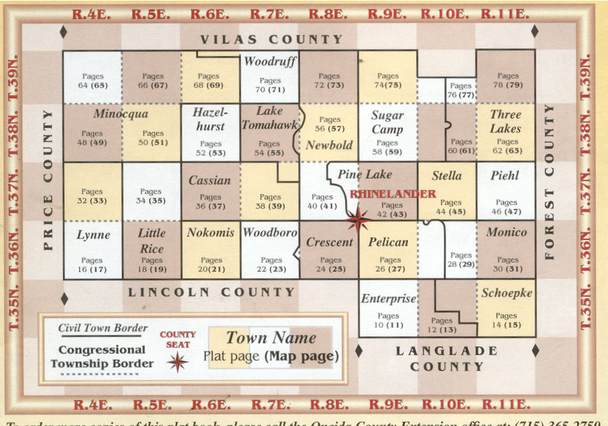 {click on map for larger version} Source: Oneida County Land Atlas & Plat Book, 2000 millennium editon; sponsored by Oneida County 4-H; publ by Cloud Cartographics, Inc. |
Back to Top of Page or Oneida Main Page