
|
Wisconsin BLM Database
 This database was extracted from data generously provided by the Bureau of Land Management. It included every homestead, mining and timber claim, as well as cash sales and Indian allotments. Not included are parcels still owned by the U. S. Government, including the Bureau of Indian Affairs, the Forest Service, and the National Park System. This database was extracted from data generously provided by the Bureau of Land Management. It included every homestead, mining and timber claim, as well as cash sales and Indian allotments. Not included are parcels still owned by the U. S. Government, including the Bureau of Indian Affairs, the Forest Service, and the National Park System.
Bureau of Land Management
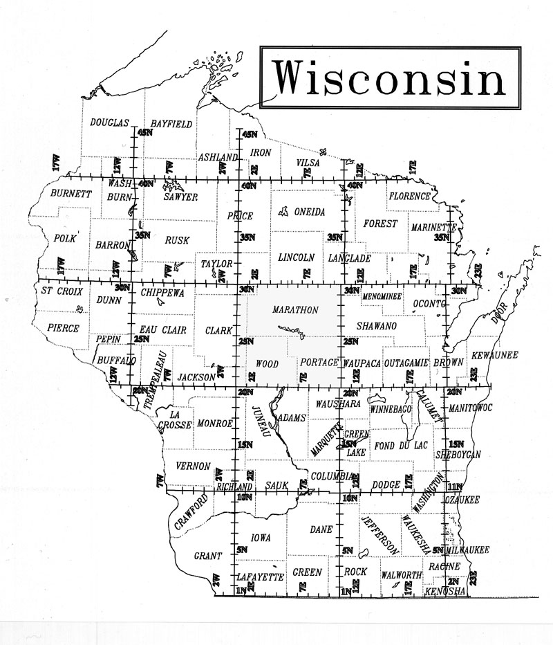
Land Patent Map of Wisconsin
An extra special thanks needs to go to Joy Fisher for coordinating the BLM Land Records for our use!!
Thanks Joy!
|
